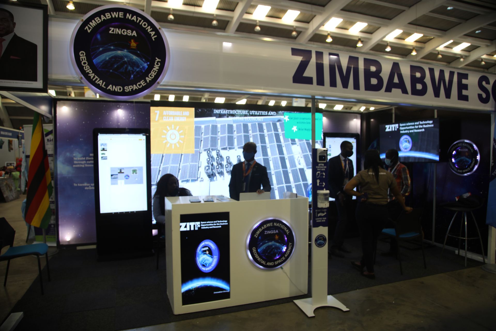
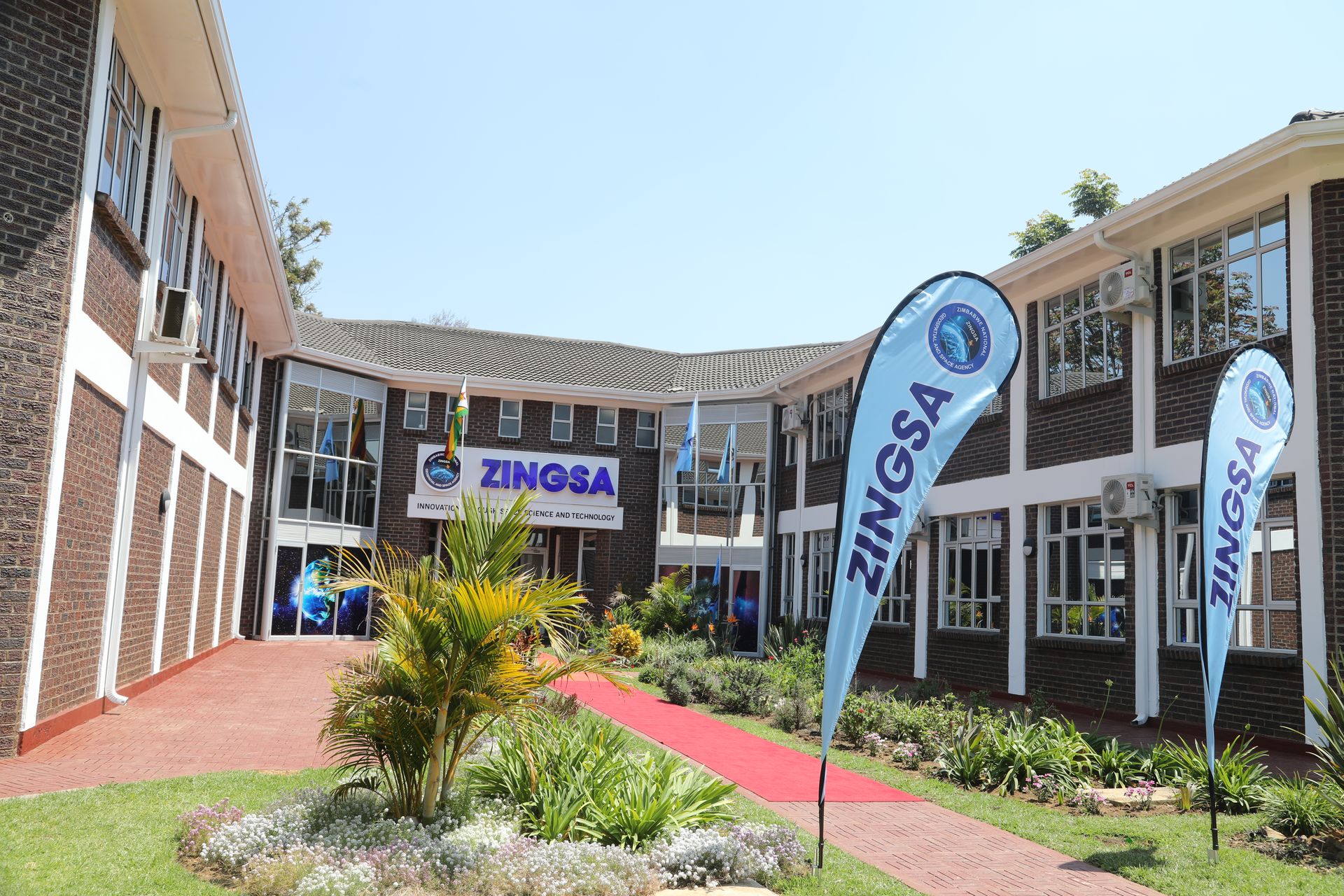
About ZINGSA
Promoting the peaceful use of space and applying geospatial and space technologies to support Zimbabwe's socio-economic development and industrialization
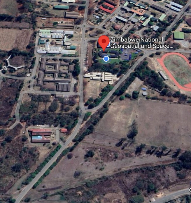
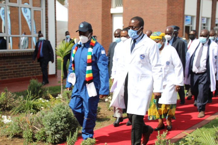
The Zimbabwe National Geospatial and Space Agency (ZINGSA) is a wholly government-owned entity established in terms of the Research Act [Chapter 10:22] and officially launched by President Emmerson Mnangagwa in 2018. ZINGSA is responsible for promoting the peaceful use of space and applying geospatial and space technologies to support Zimbabwe's socio-economic development and industrialization.

Vision
To harness space technology for national development of Zimbabwe. We envision a future where space science and geospatial technologies drive sustainable economic growth, enhance agricultural productivity, improve disaster management, and position Zimbabwe as a leading space-faring nation in Africa.

Mission
To build Zimbabwe into a space power hub through cutting edge research capable of making innovations and scientific discoveries. We achieve this by developing satellite technologies, advancing geospatial applications, conducting space science research, and building human capacity to support the nation's industrialization and modernization goals.
Core Values
Key Functions and Mandate
Research and Development
Conducting research in Geospatial Sciences, Earth Observation, Space Engineering, Aerospace Engineering, Space Science, Satellite Communication Systems, and Global Navigation Satellite Systems (GNSS).
National Planning
Utilizing satellite data and geospatial intelligence for national development initiatives, such as revising Zimbabwe's Agro-Ecological Zones, developing the Zimbabwe Wetlands Master Plan, and identifying illegal settlements to promote orderly urban development.

Agriculture Support
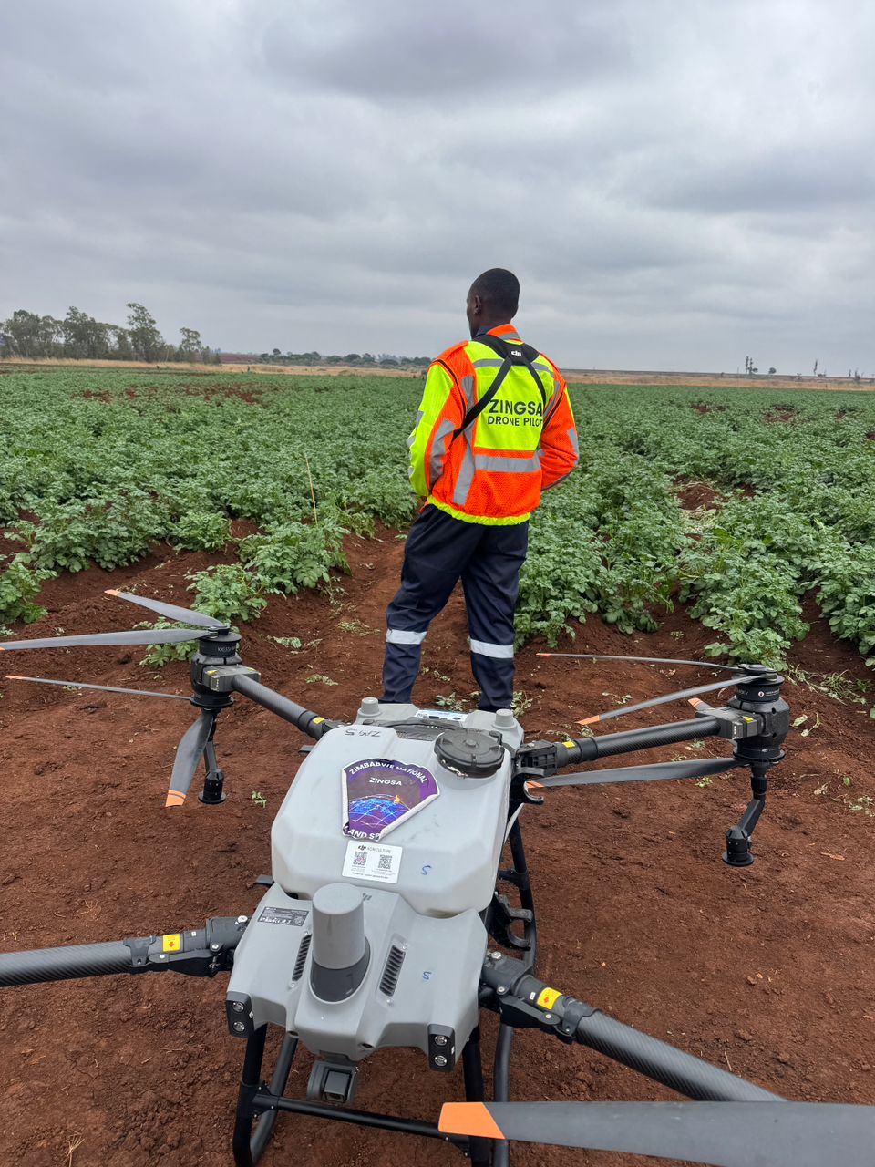
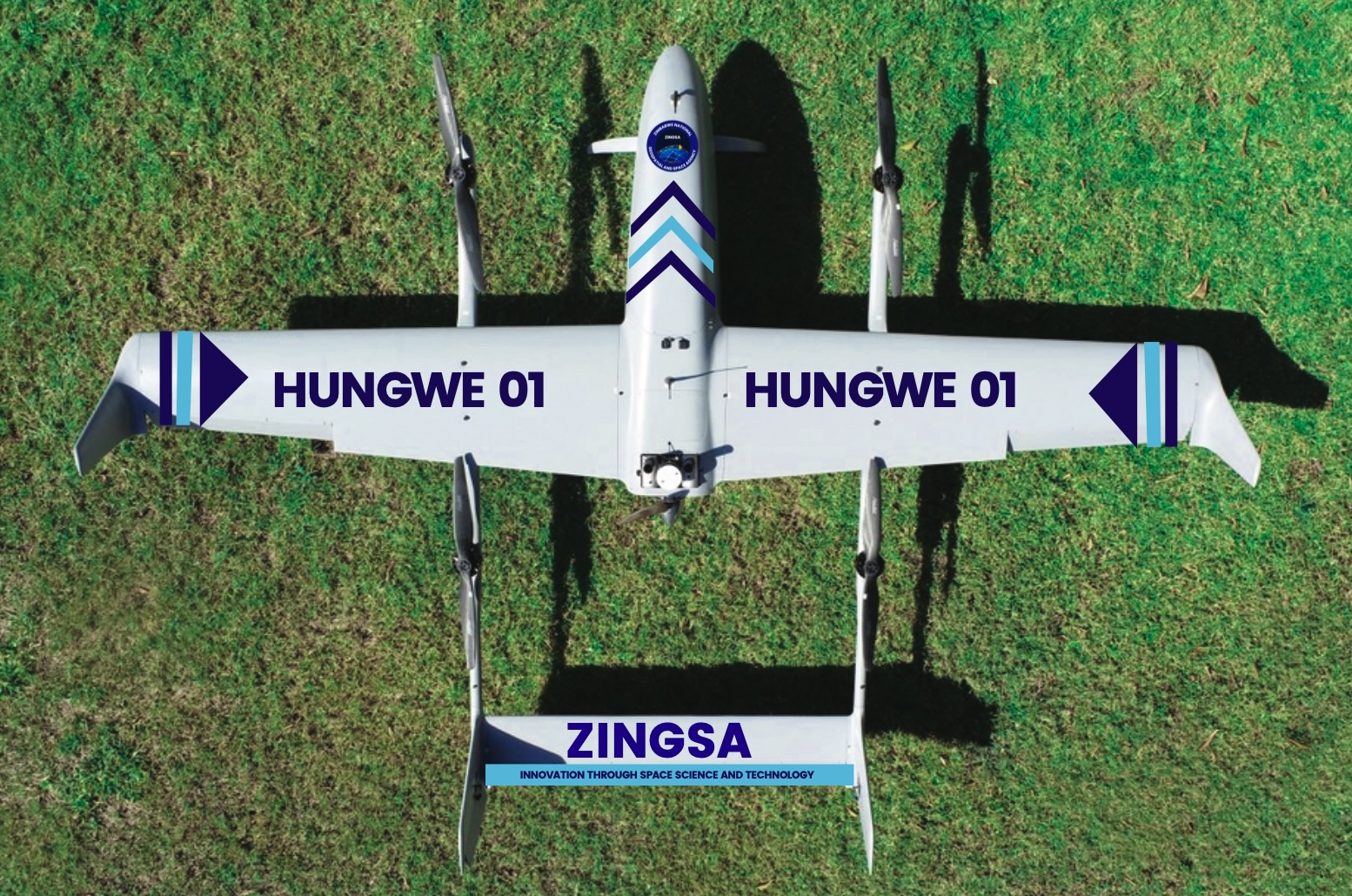
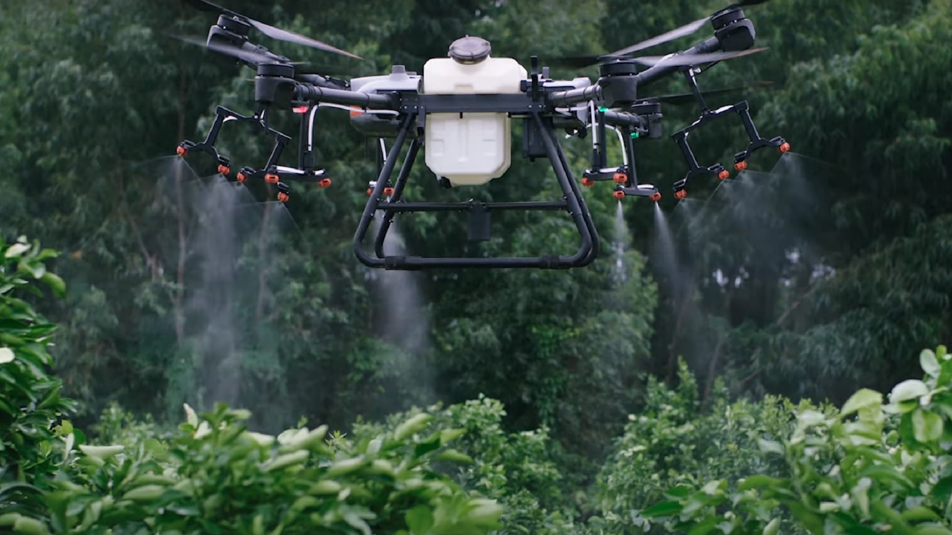
Providing critical insights for the agricultural sector, including crop yield estimation, health monitoring, precision agriculture services using drone technology, and agro-ecological mapping to assist farmers with input decisions.

Environmental & Disaster Management
Monitoring environmental hazards like veld fires and land degradation, assessing climate variability, and assisting with disaster management and response efforts.

Infrastructure & Data Management
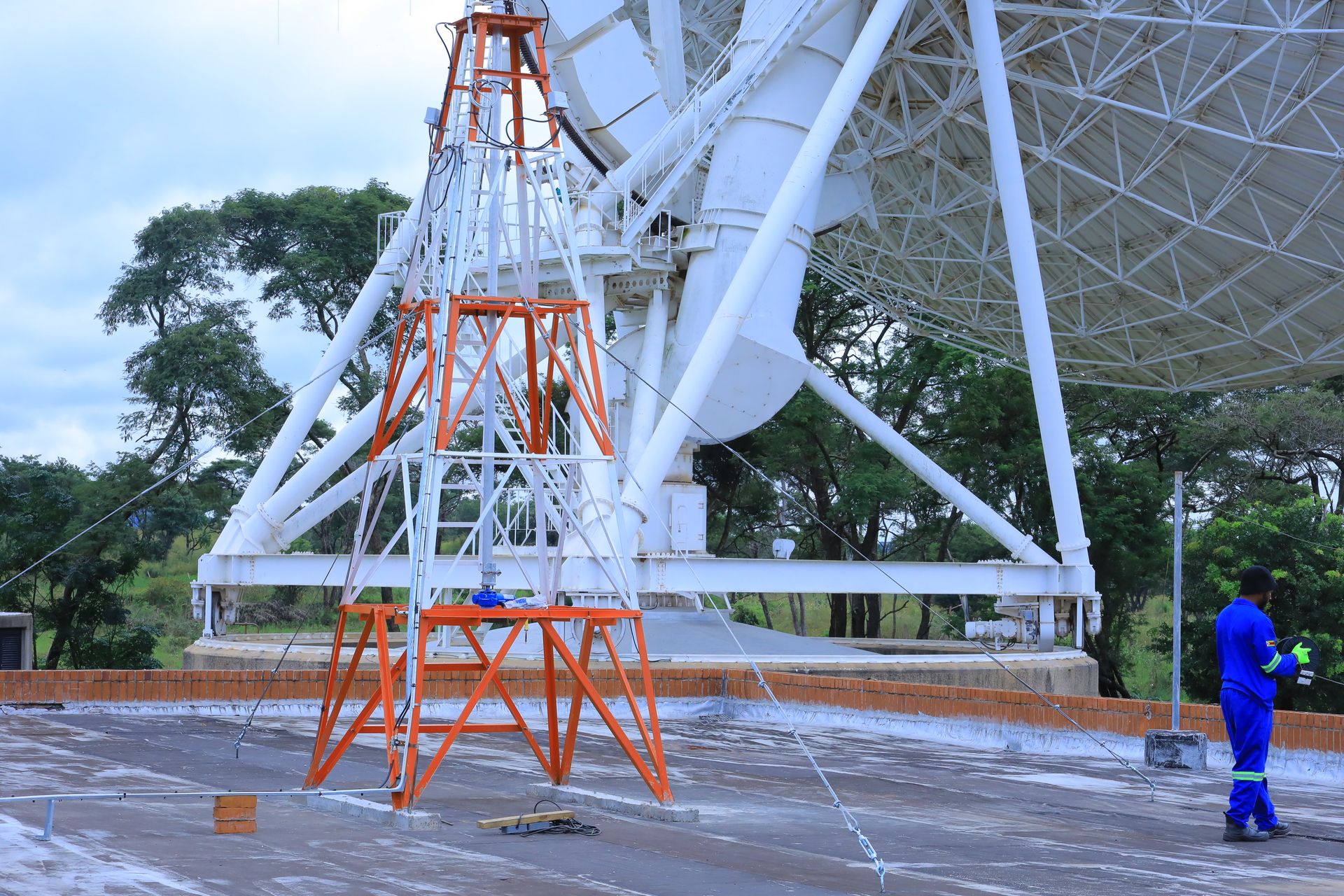
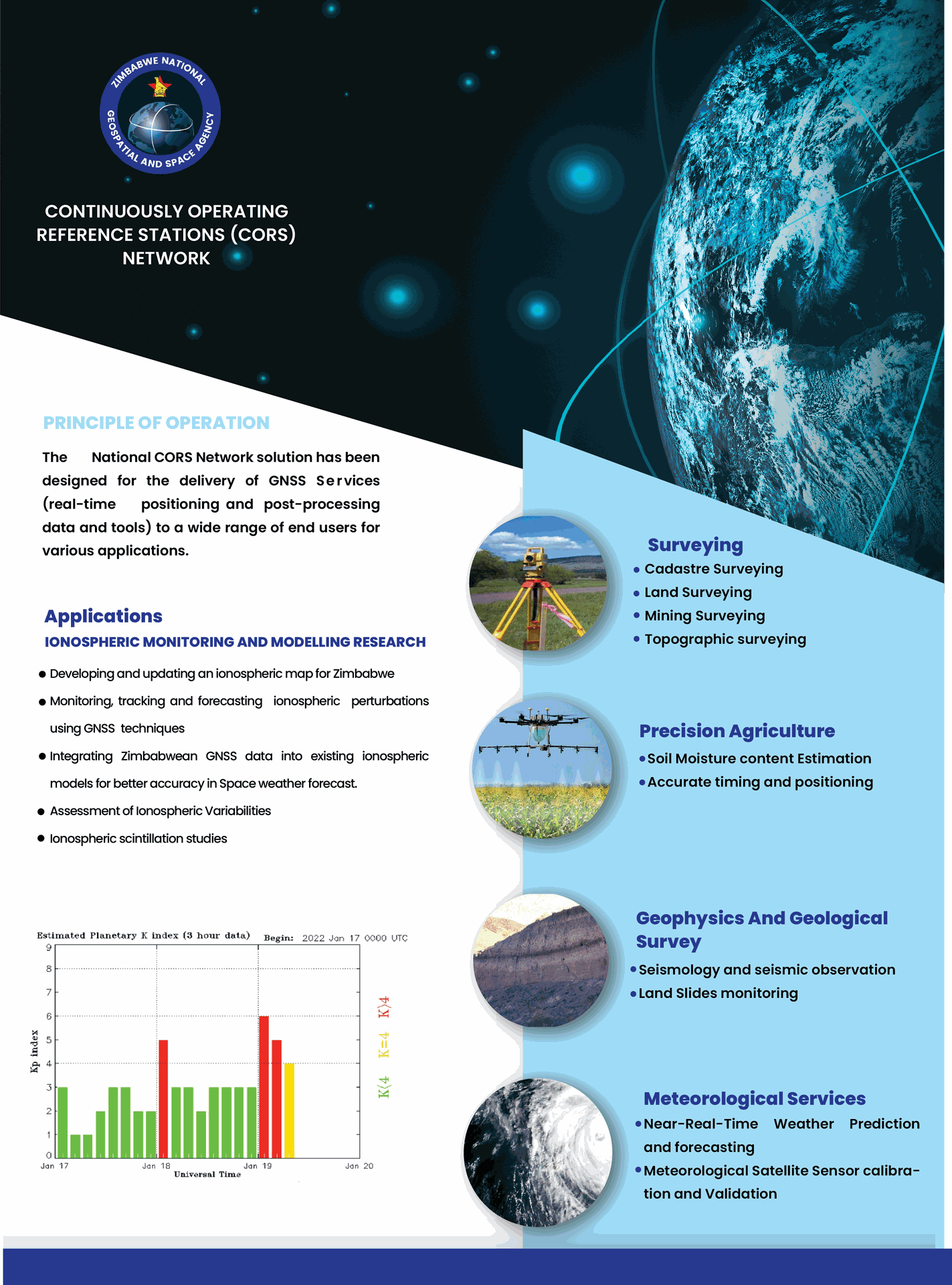
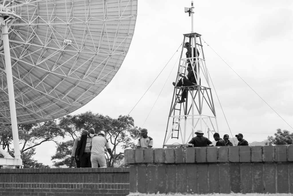
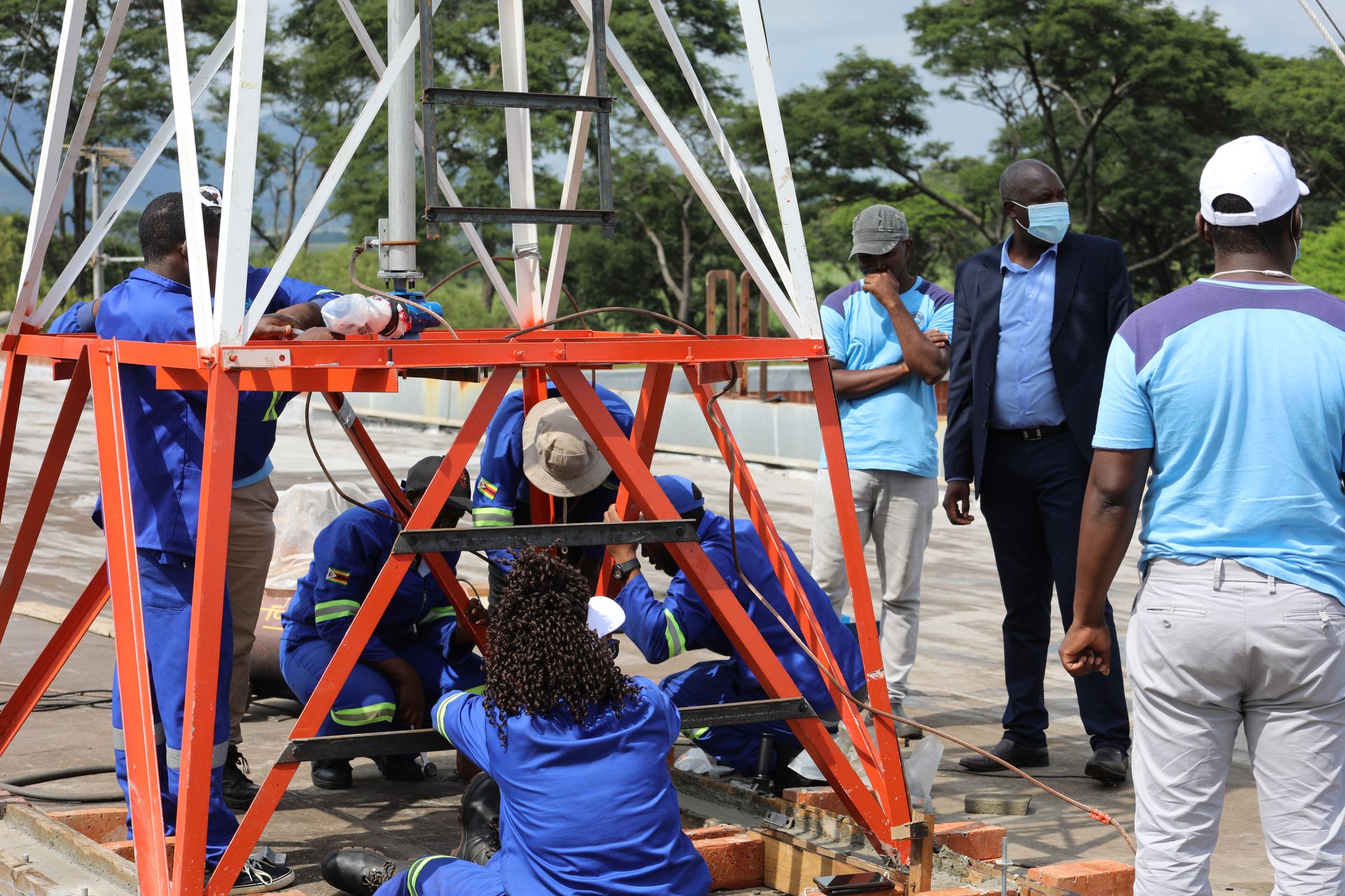
Driving the development of a National Spatial Data Infrastructure (NSDI) to standardize and integrate spatial data across various sectors, and managing the ZINGSACORS Network for accurate real-time positioning data.

Capacity Building
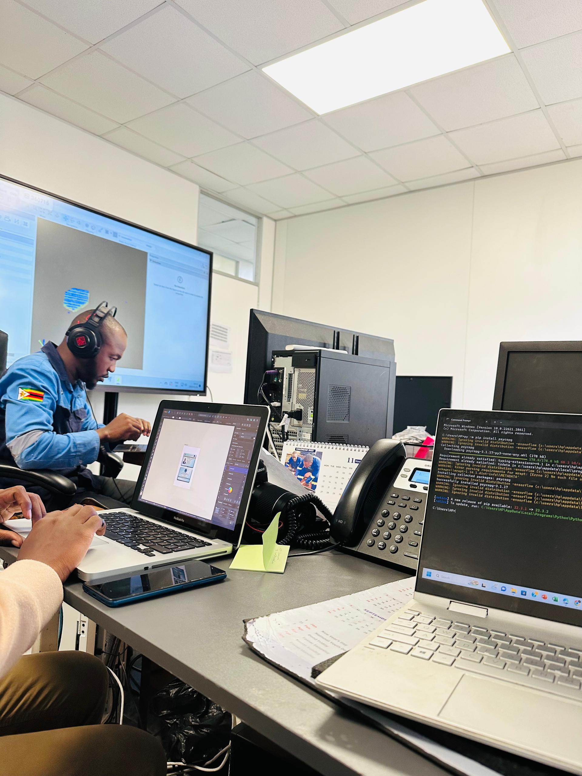
Investing in human capital development by training engineers and scientists in space technology and encouraging the return of skilled Zimbabweans living abroad.
Key Achievements

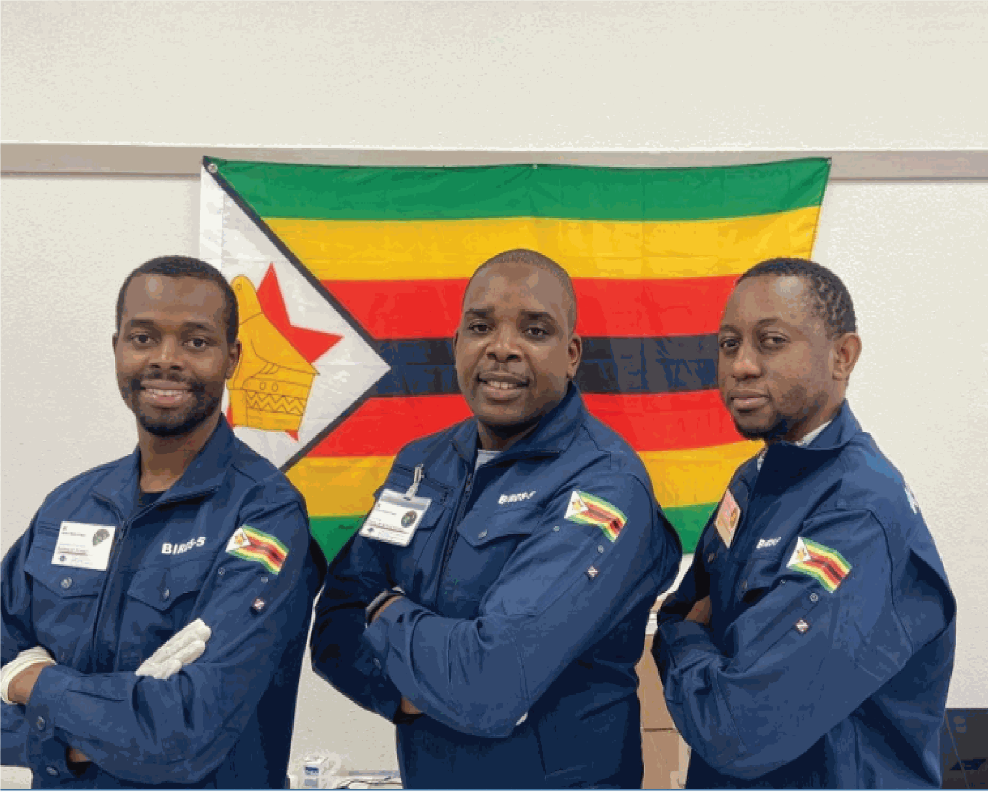
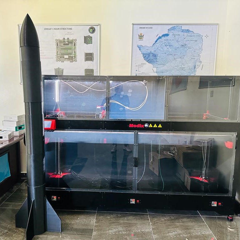
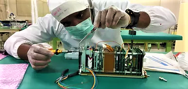
ZimSat-1 Launch
ZINGSA successfully launched Zimbabwe's first satellite, ZimSat-1, in November 2022. The satellite is used for monitoring drought conditions, mapping mining activities, assessing crop health, and generating accurate weather forecasts.

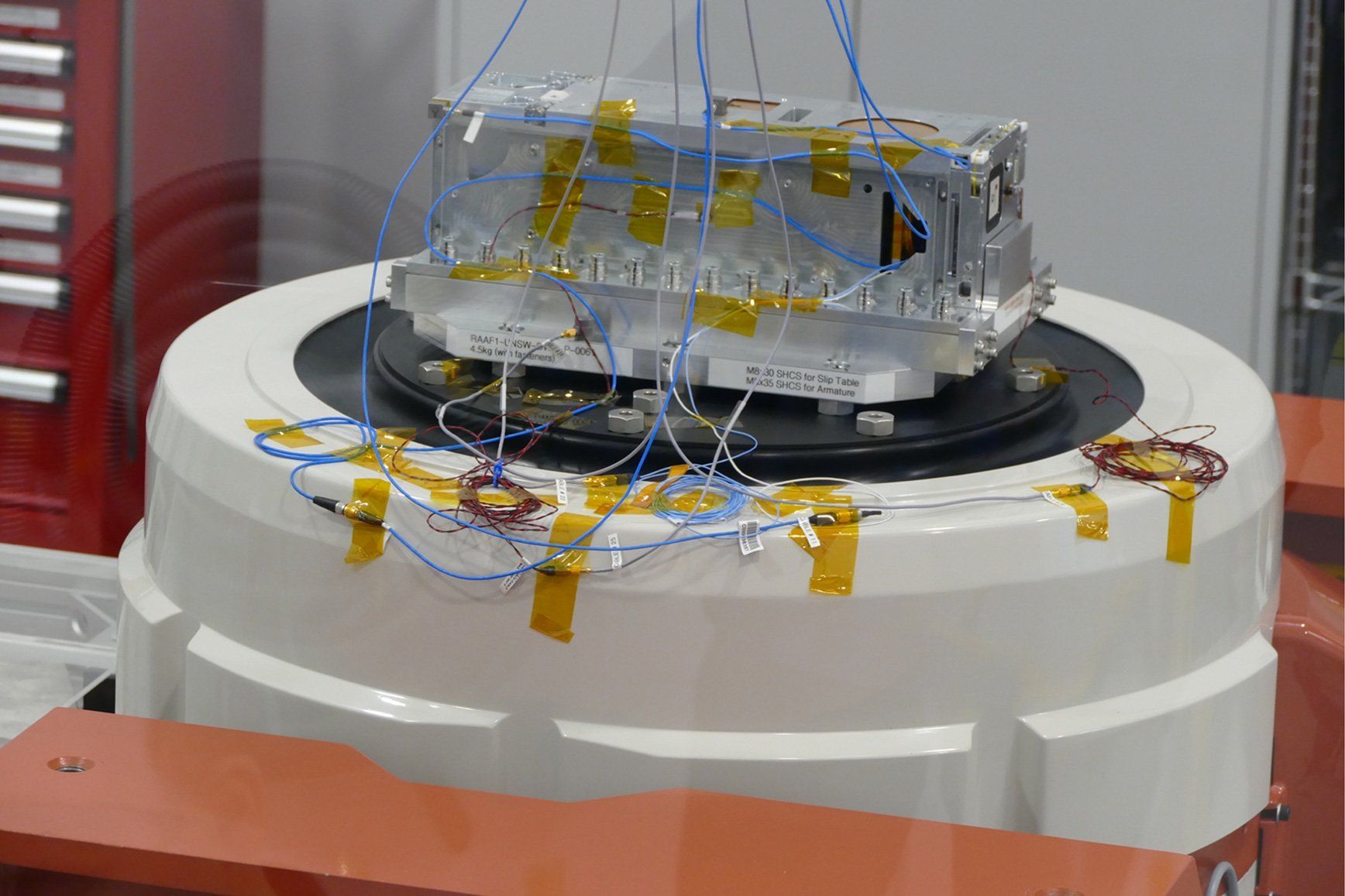
ZimSat-2
Zimbabwe's second satellite mission, building on the success of ZIMSAT-1, expanding the nation's capabilities in space technology and Earth observation.
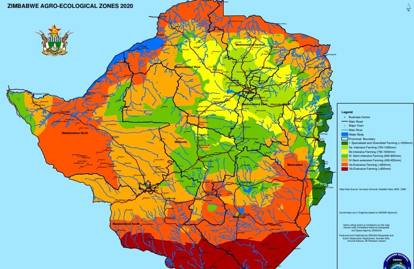
Agro-Ecological Zones Mapping
Successfully revised Zimbabwe's Agro-Ecological Zones using satellite data and geospatial intelligence to support agricultural planning and decision-making across the entire country.
Wetland Mapping - Whole of Zimbabwe
Developed the comprehensive Zimbabwe Wetlands Master Plan 2021 through extensive satellite-based mapping and analysis, covering the entire nation to support environmental conservation and sustainable development.
CORS Network
Established and operationalized the Continuously Operating Reference Stations (CORS) Network across Zimbabwe, providing accurate real-time positioning data for surveying, precision agriculture, and geophysical research.
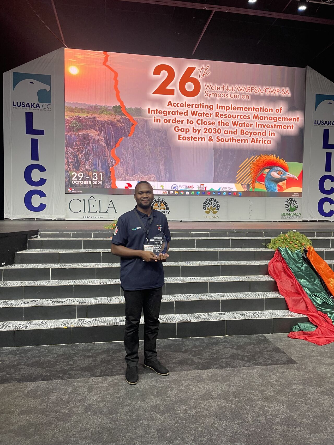
Scientist Recognition & Awards
ZINGSA scientists and engineers have been recognized for their outstanding contributions to space science and technology, receiving prestigious awards for innovation and research excellence.
Recognition & Awards
ZINGSA's commitment to innovation and excellence has been recognized through prestigious awards and partnerships.

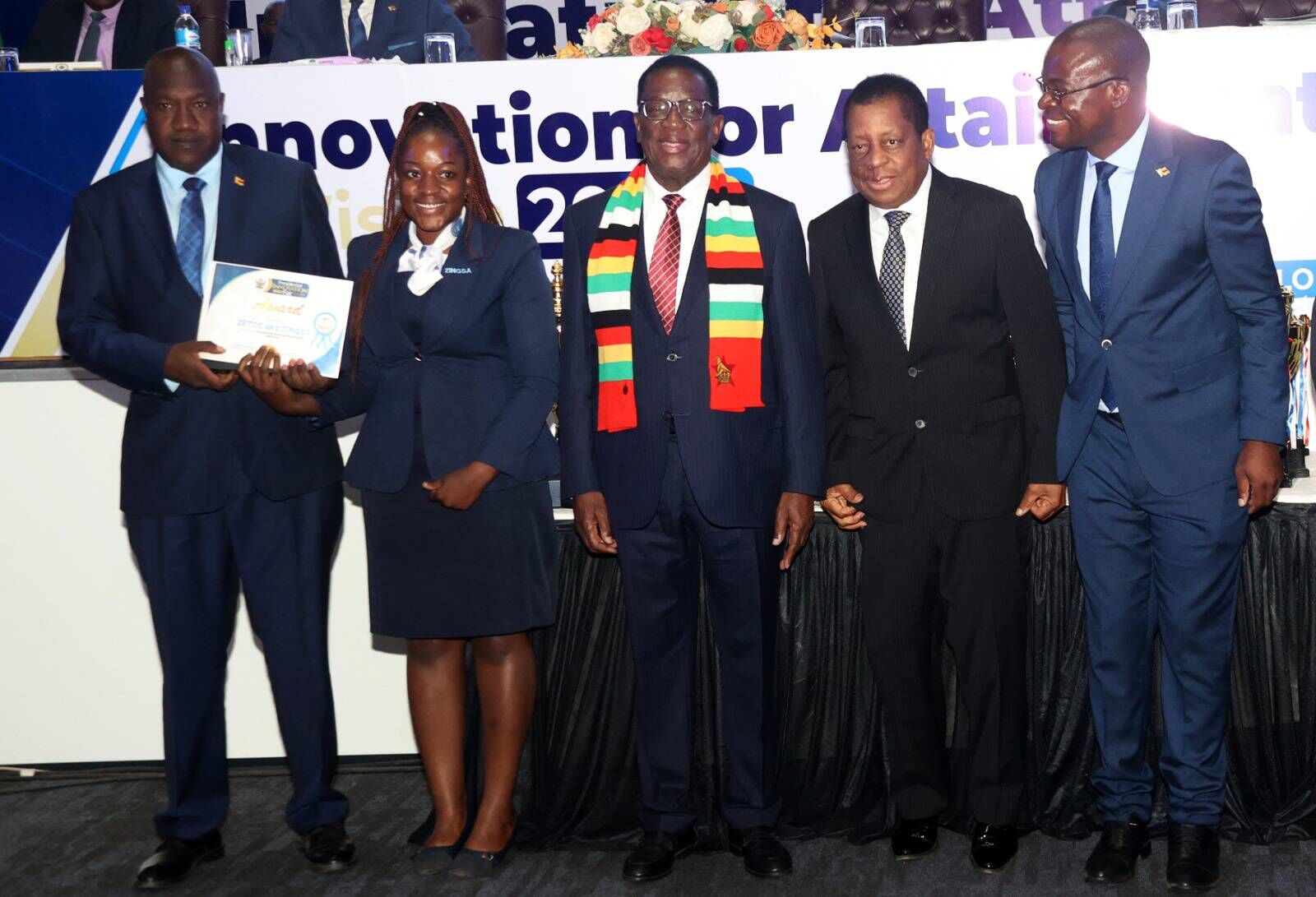
Presidential Innovation Award
ZINGSA, in collaboration with ZETDC, received the Presidential Innovation Award for outstanding contributions to technological advancement and innovation in Zimbabwe.
Innovation Excellence
Recognition for innovative solutions in space technology and geospatial applications that contribute to national development goals.
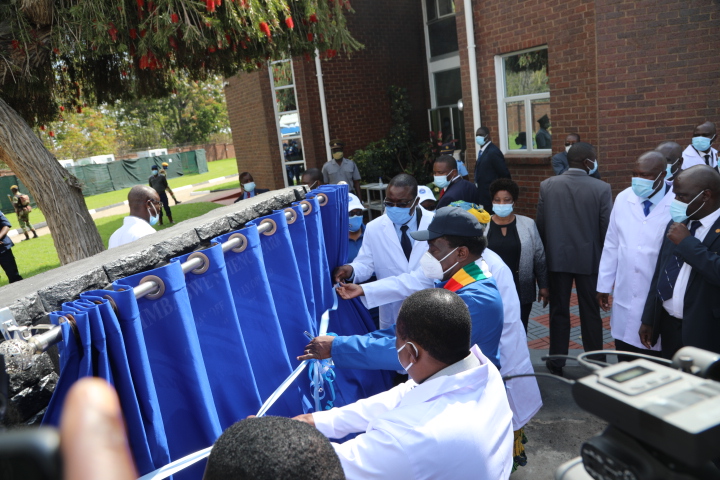
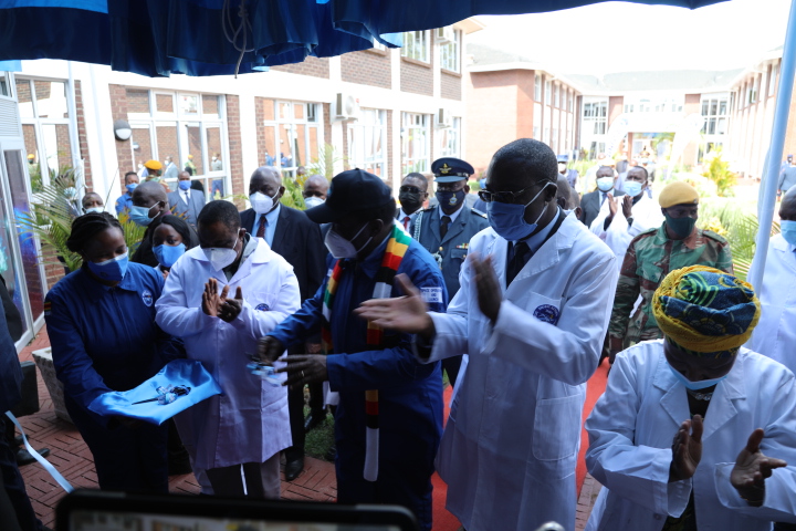
Official Launch
ZINGSA was officially launched by His Excellency President Emmerson Mnangagwa in 2018, marking a historic milestone in Zimbabwe's space journey.
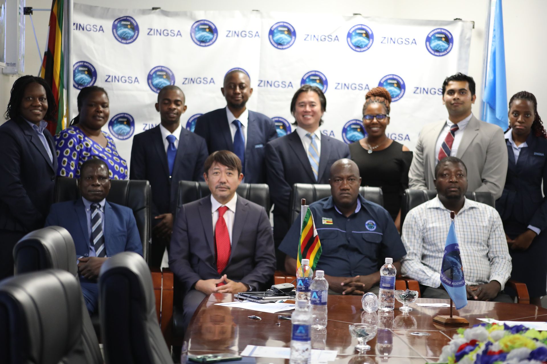
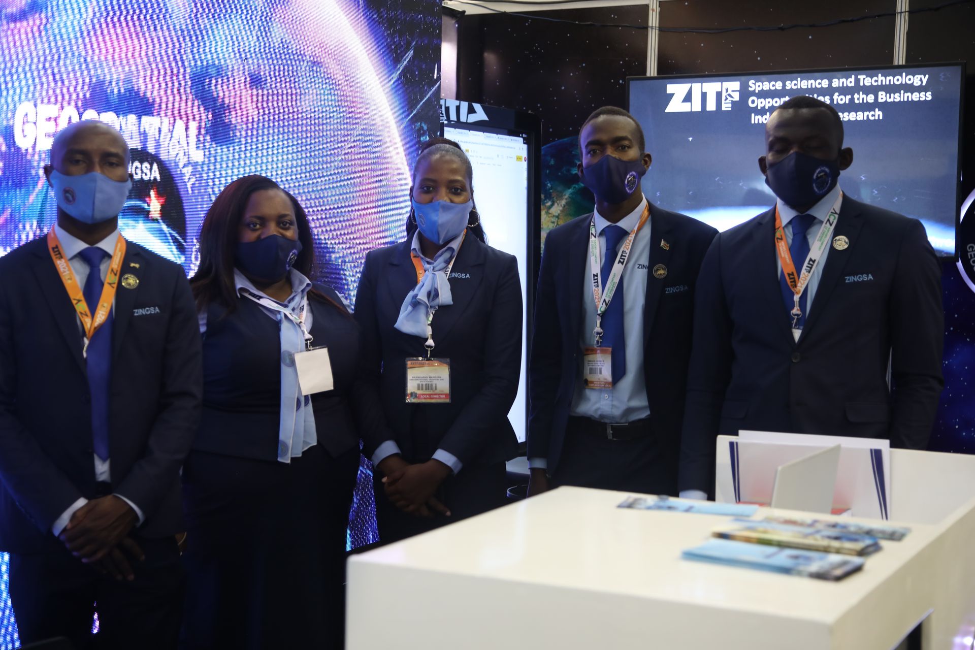
Partnerships & Collaboration
ZINGSA works with international partners, research institutions, and industry leaders to advance space technology and build capacity in Zimbabwe. Our collaborative approach ensures knowledge transfer and access to cutting-edge technologies.